The North End of Rhinns
of Kells from Green Well of Scotland
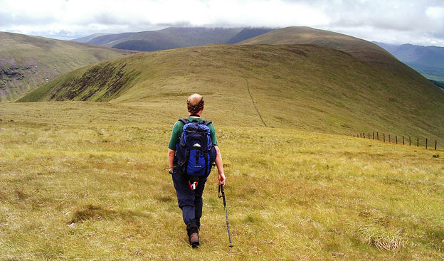
A circular hill walking
route from Green Well of Scotland onto the north end of the Rhinns of
Kells going over Black Craig, Coran of Portmark, Bow, Meaul, and Cairnsgarroch
Click on the left side of
the image to go back to the previous image and on the right side of the
images to go to the next image
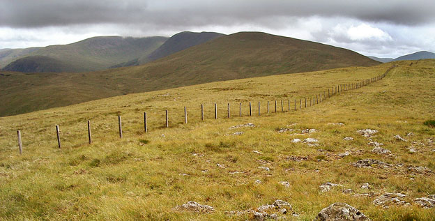
In the second picture we are on Bow and now you can see the saddle between Meaul and Cairnsgarroch. You can also see the dark top of Carlin's Cairn now though Corserine is still flirting with the low cloud. The dark top on the left of the picture beyond the saddle is Craignelder, which is the end face of Polmaddy Gairy, You would come down that way on the green route shown on page 01.
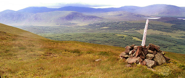
The third picture gives us a view of the north end of both the Awful Hand and Dungeon ranges. Mouseover to see the names of the hills. The white pole in the the cairn in the foreground is interesting - it was on top of Coran of Portmark five years earlier as you can see on page 09 but we had been walking 27 minutes south from Coran of Portmark when this picture was taken.
Page 11 -