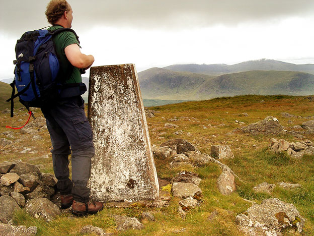
The North End of Rhinns
of Kells from Green Well of Scotland
A circular hill walking
route from Green Well of Scotland onto the north end of the Rhinns of
Kells going over Black Craig, Coran of Portmark, Bow, Meaul, and Cairnsgarroch
Click on the left side of
the image to go back to the previous image and on the right side of the
images to go to the next image
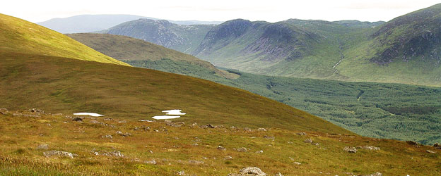
Looking SSE from Meaul in the second picture we can see beyond the Dungeons to Curleywee and Lamachan in the Minnigaff Hills. Mouseover to see the names of the hills. You can see pictures from Dungeon Hill and the the interesting little Brishie ridge on the Silver Flowe web gallery.
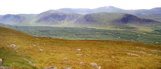
In the third picture the camera has been moved slightly to the right (west), Mullwharchar is now just left of centre with Merrick (minus it's top) beyond it. Kirriereoch is above Hoodens Hill.
Page 12 -