The North End of Rhinns
of Kells from Green Well of Scotland
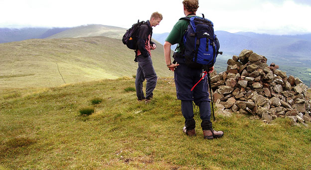
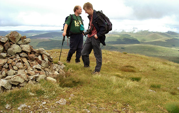
A circular hill walking
route from Green Well of Scotland onto the north end of the Rhinns of
Kells going over Black Craig, Coran of Portmark, Bow, Meaul, and Cairnsgarroch
Click on the left side of
the image to go back to the previous image and on the right side of the
images to go to the next image
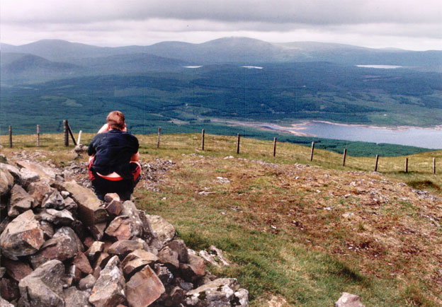
Looking east in the second picture the top Cairnsmore of Carsphairn has also disappeared into mist.
The third picture was taken on quite a different day 17th June 1999. Here we are looking west and we can see the most northerly "fingers" of the Awful Hand - Shalloch on Minnoch, Tarfessock and Kirriereoch. We can also see the the most northerly hill in the Dungeon hills - Hoodens Hill. Mouseover to see the names. There is also a map that will let you see the relationship between all these hills.
Page 10 -