or, on the right side of it to go to the next page.
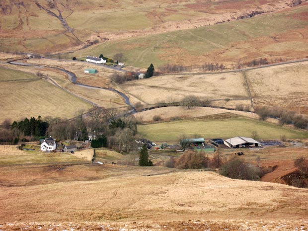
05 In the picture above
we are now high enough to see the whole layout and even catch a glimpse
of the elusive farmhouse through the trees.
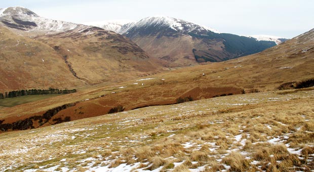
As we get higher we also begin to get good views to the north and the
south west. In the first picture below we are looking N at Carrifran
Gans (centre of the picture) and Saddle Yoke on the left - both seen
over the lower slopes of Bodesbeck Law. As mentioned earlier our return
route will bring us down the far side of the gully that you see in the
foreground.
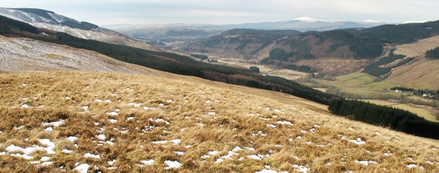
In the second picture below we are looking SW down Moffatdale towards
where it runs into Annandale.
The white top that you see in the distance right of centre is Queensberry
and the hills that you see to the right of it are the Durisdeer
hills.