Hill walk
routes to climb in SW Scotland - also coastal paths and National Scenic
Areas with maps, pictures and other useful information based on extensive
local knowledge
Steygail,
Wether Hill, Lowther Hill and the Enterkin Pass
Click on
the left side of the image below to go back to the previous page
or, on the right side of it to go to the next page.
or, on the right side of it to go to the next page.
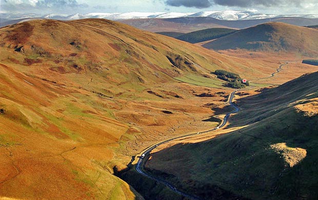
The red asterisk shows where the top of the Dalveen Pass is at Troloss. From this watershed the water system running down the Dalveen Pass runs into the River Nith then down past Dumfries and out into the Solway Firth. Beyond Troloss the wee burns run into the Potrail Water which is one of the sources of the River Clyde. So in this picture you are looking at the head waters of the River Clyde much loved by Glaswegians. How many of them would know as they drive down the A702 that they are passing what should be a special place for them. At the source of the Tweed there is a roadside sculpture commemorating that fact; here there is no such commemoration of the birth of another hugely important Scottish river. The border between Strathclyde Region and Dumfries and Galloway Region runs through Troloss, along Caplaw Rig and over the summits of Well Hill and Durisdeer Hill. So the sources of the Clyde are almost entirely in Strathclyde Region.
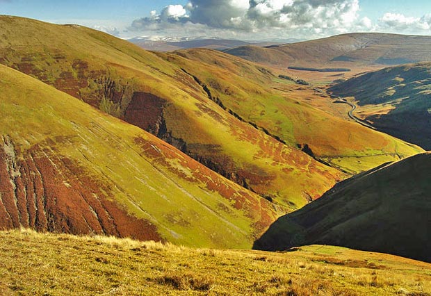
In the picture below we have zoomed out quite a bit with the camera. We have started heading North West and are now looking across the complex of gullies which run down from Comb Head and Laght Hill beyond. The Southern Upland Way comes down from Lowther Hill heading east across Southern Scotland from coast to coast. It takes you over both Comb Head and Laght Hill before coming down to road level at Overfingland just to the left (North West) of Meikle Shag in this picture. Mouseover to see the names of the hills.