Hill walk
routes to climb in SW Scotland - also coastal paths and National Scenic
Areas with maps, pictures and other useful information based on extensive
local knowledge
Steygail,
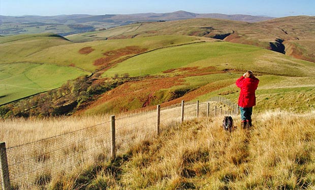
Wether Hill, Lowther Hill and the Enterkin Pass
Click on
the left side of the image below to go back to the previous page
or, on the right side of it to go to the next page.
or, on the right side of it to go to the next page.
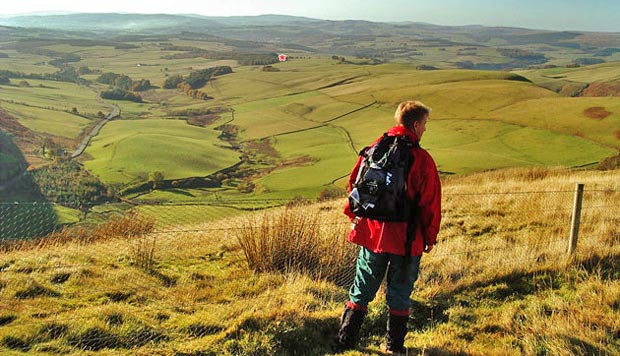
Cairnkinna is the small hill just right of centre on the sky line - over in the Scaur hills beyond the valley of the River Nith (into which the Enterkin Water runs at Enterkinfoot).
In the picture below we are looking South and you can see the A702 near the left side of the picture. I have put a red asterisk to show where the car is parked.