The North End of Rhinns
of Kells from Green Well of Scotland
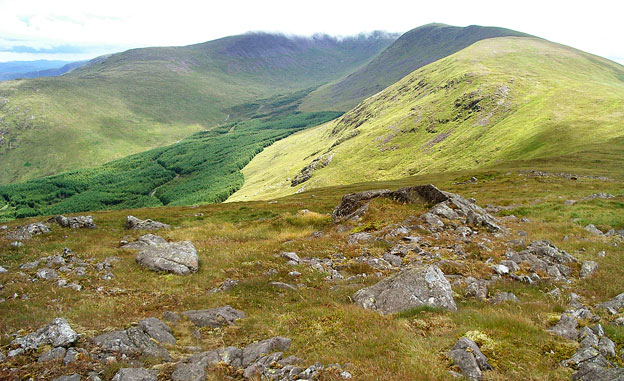
A circular hill walking
route from Green Well of Scotland onto the north end of the Rhinns of
Kells going over Black Craig, Coran of Portmark, Bow, Meaul, and Cairnsgarroch
Click on the left side of
the image to go back to the previous image and on the right side of the
images to go to the next image
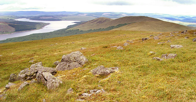
In the second picture we are looking north over the various hills we have come over today and Loch Doon reaching out into the distance.
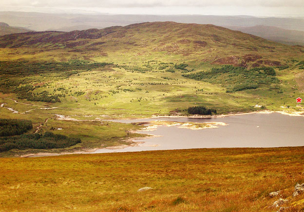
In the third picture we have the southern end of Loch Doon where Loch Doon Castle is situated - just under the red asterisk. Here is a link to a website with aerial pictures of the castle. This castle has an interesting history. There is a forest road from just south of Dalmellington that brings you down the west side of Loch Doon past the castle. It goes over by Loch Riecawr and Loch Bradan and ends up some 5 km north of Shalloch on Minnoch (as the crow flies) at Stinchar Bridge on the unclassified road from Newton Stewart to Straiton.
Page 13 -