Hill walk
routes to climb in SW Scotland - also coastal paths and National Scenic
Areas with maps, pictures and other useful information based on extensive
local knowledge
A
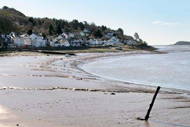
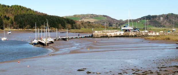
Coastal walk from Kippford to Rough Island, Castle Point and Rockcliffe.
Click on
the left side of the image below to go back to the previous page
or, on the right side of it to go to the next page.
or, on the right side of it to go to the next page.
The second picture shows how Kippford huddles along the shore, houses on one side of the road and sea on the other.
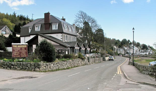
In the third picture we have come out of the marina area and are looking southward along the main street with the Mariner Hotel in the foreground.