Hill walk routes to climb in SW Scotland - also coastal paths and National Scenic Areas with maps, pictures and other useful information based on extensive local knowledge
A 
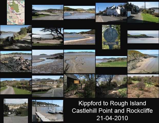
Coastal walk from Kippford to Rough Island, Castle Point and Rockcliffe.

Introduction to East Stewartry National Scenic Area - Map of walking routes in the area
Site Homepage - Otherwalks Home - Otherwalks Page List

Click on any picture to go to a larger version of it
Map of a coastal walk from Kippford to Rough Island, Castle Point and Rockcliffe Views around the jetty and the parking area in Kippford Views of Kippford and its jetty Views around Kippford village Views of shore road to Rough Island with strange beasties Views along the shore road to Rough Island Views of the causeway to Rough Island from the shingle beach at the end of the shore road Kippford Views towards Kippford and Rockcliffe from Rough Firth Views from the cairn on Rough Island Views from the cairn on Rough Island Views from the east shore of Rough Island Views taken while crossing the mud in Rough Firth from Rough Island towards Castle Point Views taken along the coastal path to Castle Point Views from Castle Point Views of the beach below Barcloy Hill and of Castle Point from Barcloy Hill Views of Rockcliffe taken by the roadside heading from Castle Point to Rockcliffe Views around Rockcliffe village Views taken while heading along the shore path from Rockcliffe towards Kippford Views taken while heading along the shore path from Rockcliffe towards Kippford Views of Water of Urr and Rough Firth from The Muckle Views taken coming back into Kippford from Jubillee Path Views of Kippford from the jetty at the marina