or, on the right side of it to go to the next page.
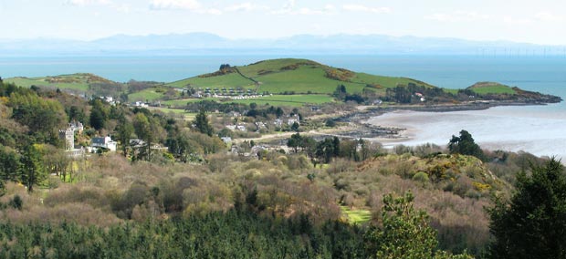
20 Above is a shot from
The Muckle down onto Jubilee Path and the pleasant open woodland which
lies between Rockcliffe and Kippford through which the shore and Jubilee
paths run.
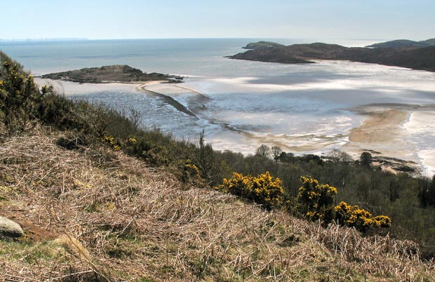
The second shot shows the view out into Rough Firth. You can see the causeway
out to Rough Island on the left half of the picture. This picture was
taken at 2.02 pm and you can see that it would still be possible to get
back from Rough Island - though not adviseable to go there. Low tide was
around 11 am. Horse Isles Bay is on the right of the picture with Hestan
Island visible beyond the end of Almorness Point.
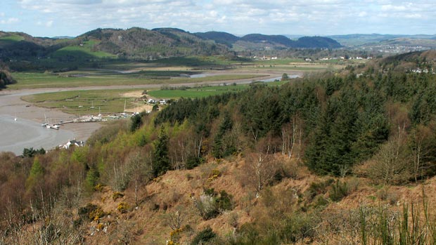
The third picture shows the view up the valley of the meandering Urr Water.
You can see Palnackie and then Dalbeattie
further into the picture. You can also see the jetty down at Kippford
marina in the left foreground.