Rhinns of Kells from
Craigencallie
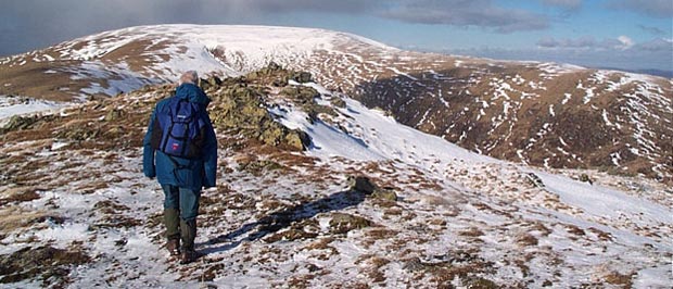
A linear hill walking route
from Craigencallie onto the Rhinns of Kells going over Darrou, Little
Millyea, Meikle Millyea, Milldown, Millfire and Corserine
Click on the left side of
the image to go back to the previous image and on the right side of the
images to go to the next image
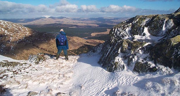
In the second picture we have the view over to Cairnsmore of Carsphairn from near the top of Millfire as we start to descend from there heading for Corserine. Cairnsmore is the white topped hill in the distance just to the left of Dunkie and it lies on the the other side of the broad plain of the Glenkens which lies between the Galloway Hills and the Scaur (or Carsphairn hills) and acts as one of the main routes from Dumfriesshire up into Ayrshire.
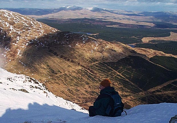
In the third picture a bit of telephoto has been used and you can see both the plain of the Glenkens and the Cairnsmore group of hills quite clearly. That's the North Gairy coming in from the left of the picture and down in the valley of the Hawse Burn just past where Sandy is sitting there is a route onto Millfire which comes past the memorial to the 17 year old shepherd Ralph Forlow who lost his life here tending his sheep in 1954.
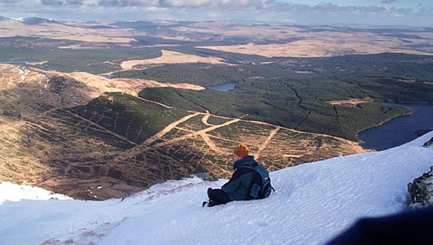
In the fourth picture we are looking more to the south over Loch Dungeon on the right and Loch Minnoch in the centre of the picture. We can see right over the low lands at the southern end of the Glenkens towards Dumfries.
Page 09 -