or, on the right side of it to go to the next page.
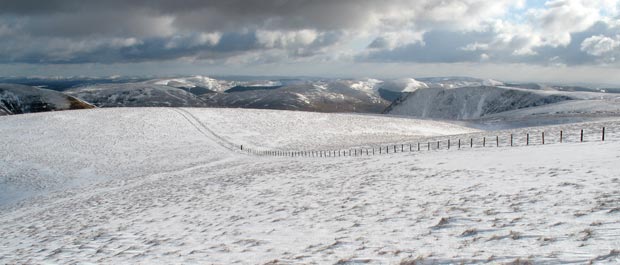
17 In the picture above we
are heading towards the top of Hartfell Craig (in the centre foreground).
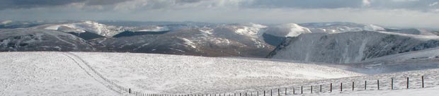
In the second picture we see the wide sweep of what is ahead of us on
this route all the way to Black Craig.
The first picture was taken at 13.14 and the second at 13.17
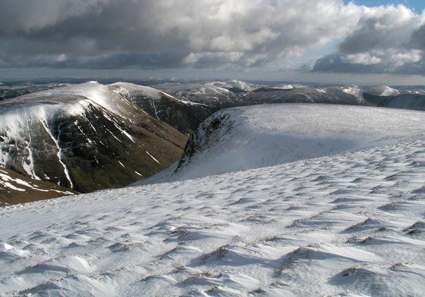
In the third picture I have zoomed in to have a closer look at the Ettrick
hills beyond Moffatdale. Mouseover to see the names of the hills. There
is a deep valley between Bodesbeck Law (665 metres) and Ettrick Pen (690
metres) - that of the River Ettrick (Ettrick Water) which has its source
between Smidhope Hill (644 metres) and Wind Fell (665 metres).
So Ettrick Pen, Hopetoun Craig (632 metres) and Wind Fell are all on the
far side of the valley of Ettrick Water which runs east. Ettrick Water
is joined by Yarrow Water at Philiphaugh and runs into the River Tweed
between Selkirk and Galashiels.
Loch Fell (688 metres) is a continuation of that same ridge on the far
side of Ettrick Water but lies west of its source. There are 2 walks in
these Ettrick Hills shown on this website - Bodesbeck
Ridge and Capel Fell/Loch
Fell/Crofthead