Hill walk
routes to climb in SW Scotland - also coastal paths and National Scenic
Areas with maps, pictures and other useful information based on extensive
local knowledge
Around
Ettrick Head - Capel Fell, Wind Fell and Ettrick Pen in Winter
Click on
the left side of the image below to go back to the previous page
or, on the right side of it to go to the next page.
or, on the right side of it to go to the next page.
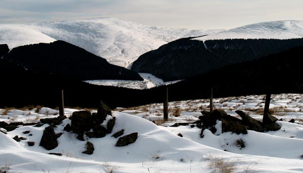
In the second picture we are looking ESE across the valley of Ettrick Water to Ettrick Pen which will be our final hill for the day and which will be visible to us from now onwards for most of the time till we get there - like a great killer whale with its stark black and white markings on this particular day. We will come straight down the front of the hill making for the gap that you see in the trees and we will use White Shank on this side of the valley as the line to aim for as we leave the top of Ettrick Pen - till we can see down into the valley and the gap in the trees we are looking for.
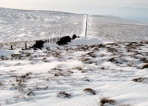
The third picture shows the county boundary fence running up to White Shank. We will follow it all the way to Ettrick Pen.