Hill walk
routes to climb in SW Scotland - also coastal paths and National Scenic
Areas with maps, pictures and other useful information based on extensive
local knowledge
A
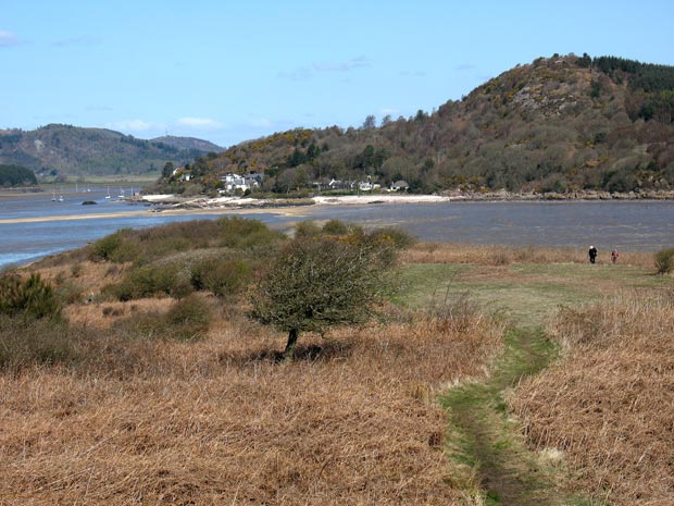
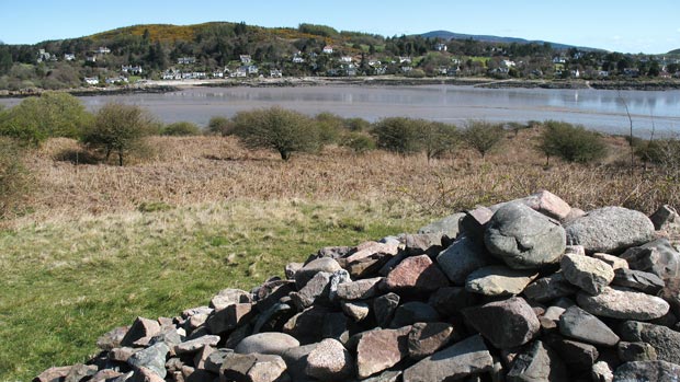
Coastal walk from Kippford to Rough Island, Castle Point and Rockcliffe.
Click on
the left side of the image below to go back to the previous page
or, on the right side of it to go to the next page.
or, on the right side of it to go to the next page.
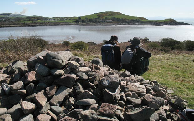
The second picture was taken from the cairn at the highest point on Rough Island (24 metres). You can see that there is quite a good track across the island from the causeway to the cairn. There were quite a few people visiting the island.
The third picture shows the view of Rockcliffe from the cairn and the fourth picture shows Barcloy Hill and Castle Point.