Hill walk
routes to climb in SW Scotland - also coastal paths and National Scenic
Areas with maps, pictures and other useful information based on extensive
local knowledge
A
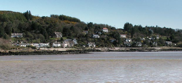
Coastal walk from Kippford to Rough Island, Castle Point and Rockcliffe.
Click on
the left side of the image below to go back to the previous page
or, on the right side of it to go to the next page.
or, on the right side of it to go to the next page.
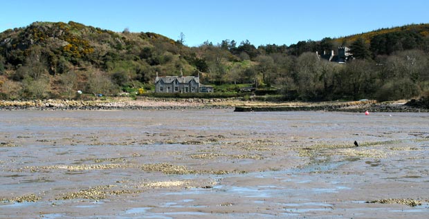
The second picture shows Mote of Mark hill (on the left of the picture) with the Keeper's cottage in front of it and a small jetty in front of that. Later in the day we will come back along the shore track past that cottage on our way back to Kippford (page18).
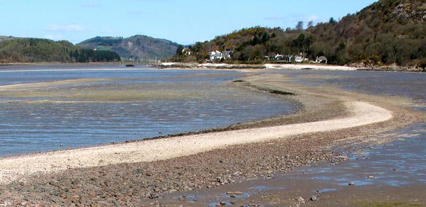
The third picture shows the view over to Rockcliffe over Rough Firth.