12 In the picture above we are arriving at the car park at Powillimount as we head south towards Southerness - which you can see in the distance. It is a much shorter and easier walk (across a flat sandy beach) from Powillimount to Southerness than it is from Carsethorn to Powillimount, though again it is better to do it when the tide is out.
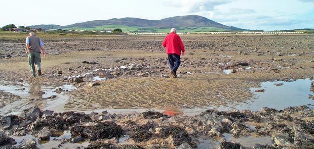
In the second picture you can see what the view is like looking across the Solway Firth to the Lake District as we approach Southerness. I have used quite a bit of zoom here and this appears to bring the far shore nearer than it is in reality.
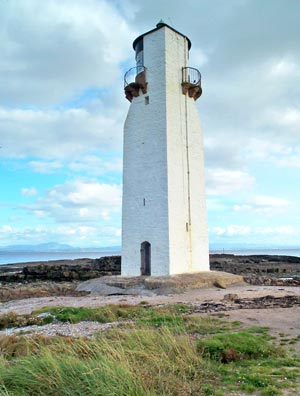
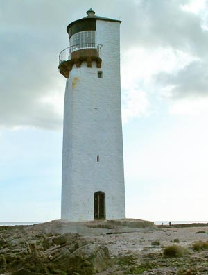
The third and fourth pictures give views of Southerness Lighthouse which was commissioned by the Town Council of Dumfries in 1748 and is the second oldest lighthouse in Scotland.
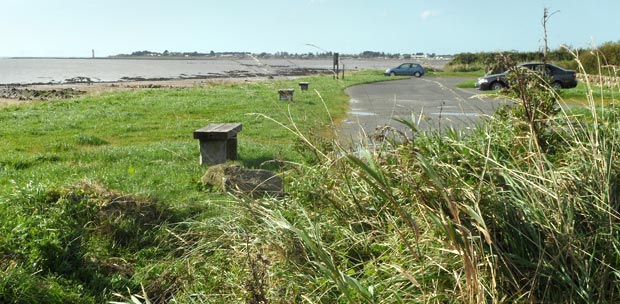
The final picture shows the view ahead as we leave Southerness to make our way back to Powillimount. You can see a long line of caravans and chalets running along the edge of the beach and of course there is also the ever present view of Criffel in the distance.