Hill walk routes to climb in SW Scotland - also coastal paths and National Scenic Areas with maps, pictures and other useful information based on extensive local knowledge
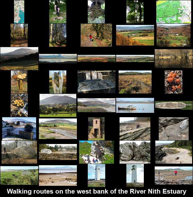
Walking routes on the West Bank of the River Nith
Previous
Criffel from Ardwall - Criffel from Mid Glen - Caerlaverock Castle
East Bank of the Nith
- Nith Estuary NSA - Main Site Homepage
Next
 
Click on any picture to go to a page with a larger version of the picture
 
View across Carse Bay towards Criffel from Carsethorn Owl sculpture in Mabie Forest Memorial to a child who died in infancy View across Kirconnell Flow with Mabie Forest hill in the background Seat with three dragonflies carved on it Fungi in Kirconnell Flow The Lake District as seen from Mabie Forest View of Criffel from Mabie Forest as evening approaches View of the River Nith, Glencaple and Ward Law from Mabie Forest Kirconnell Flow, Glencaple and Kelton from Mabie Forest Trees reflected in one of Mabie Forest's ponds Avenue of mature trees alongside the path, Mabie Forest Broad path through the forest, Mabie View of Dumfries and the Moffat and Ettrick hills from Mabie Forest Autumn walk in Mabie Forest View of the disused railway viaduct at Goldielea from Mabie Forest Map of walking routes in Mabie Forest View of Criffel and Knockendoch with Sweetheart Abbey in the foreground Young rock climbers at the Thirl Stane, Powillimount Fungi in Kirconnell Flow View of the Devil Stane on the shore at Arbigland View towards the Lake District from the beach near Southerness View of Criffel from where the Prestonmill Burn runs into the River Nith Estuary Human face in St Queran's Well near Islesteps View of a WW2 watchtower near where the Prestonmill Burn runs into the River Nith Estuary Religious parphernalia hanging on trees at St Queran's Well near Islesteps Boat seat at Carsethorn with names of passengers who sailed to the New World from here View of Criffel from the shore at Carsethorn with the remains of an old pier in the foreground Photographing fossils in the rocks near Arbigland Looking across the River Nith Estuary from Carsethorn Map showing walking routes on the west bank of the River Hith Photograph of fossils in the rocks at Arbigland View of the Devil Stane on the shore at Arbigland View from the top of the Thirl Stane at Powillimout looking south-westward towards Southerness View of the Thirl Stane at Powillimount Looking down into St. Queran's Well View from the parking area at Powillimount looking southwest towards Southerness The lighthouse at Southerness The lighthouse at Southerness View of Criffel on way back to Powillimount from Southerness
Previous
Criffel from Ardwall - Criffel from Mid Glen - Caerlaverock Castle
East Bank of the Nith
- Nith Estuary NSA - Main Site Homepage
Next