Hill walk routes to climb in SW Scotland - also coastal paths and National Scenic Areas with maps, pictures and other useful information based on extensive local knowledge
Walking routes on the West Bank of the River Nith - Mabie Forest
Previous
Criffel from Ardwall - Criffel from Mid Glen - Caerlaverock Castle
East Bank of the Nith
- Nith Estuary NSA - Main Site Homepage
West Bank Homepage
Next
View of Dumfries and the Moffat and Ettrick hills from Mabie Forest View of Dumfries and the Moffat and Ettrick hills from Mabie Forest View of Dumfries and the Moffat and Ettrick hills from Mabie Forest

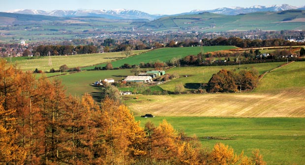
04 Because Mabie Forest sits on a hill which reaches 249 metres and the surrounding country is mostly low level and flat, there are plenty of places along the walking routes where you can get excellent views of the surrounding scenery.

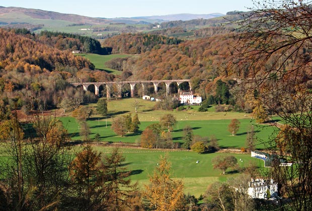
The picture above shows a view towards Dumfries with the Moffat hills and the Ettrick hills in the distance. The second picture shows a view of a viaduct on the disused railway line which once ran through Galloway from Dumfries to Stranraer and Portpatrick from whence ferries sailed to Ireland and so this route was known as the "Paddy Line". It must have been a spectacular train journey in its day.

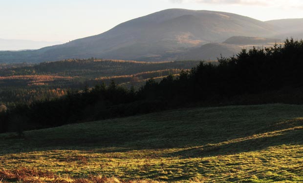
The third picture shows the soft light of sunset playing over Criffel and Knockendoch.

View of the disused railway viaduct at Goldielea from Mabie Forest
View of Criffel from Mabie Forest as evening approaches
Previous
Criffel from Ardwall - Criffel from Mid Glen - Caerlaverock Castle
East Bank of the Nith
- Nith Estuary NSA - Main Site Homepage
West Bank Homepage
Next