03 Travelling south on the A701 from Dumfries you will find signs for the forest park shortly after you have passed Mabie Farm Park which is on your right half way along a fairly long flat straight bit of road. The entrance to the road which takes you to the forest park is on the right at the end of this straight, where the main road bends sharply to the left and starts to climb a hill. There is plenty of parking space for the forest park.
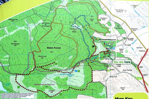
Mabie Forest Park is in the care of the Forestry Commission who have put considerable effort into "one of the most popular destinations in the area for outdoor recreation". This is a fair claim on their part considering the range of walking routes, mountain bike routes and other facilities which are laid on for the visitor here (like a chilkdren's play park and an area for having barbecues). The map above is taken from their information board by the car park and shows the range of way-marked walking routes on offer. As for mountain biking, Mabie is one of the widely acclaimed Seven Stanes mountain biking trails which are scattered across the south of Scotland.
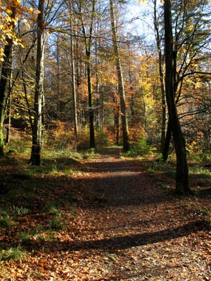
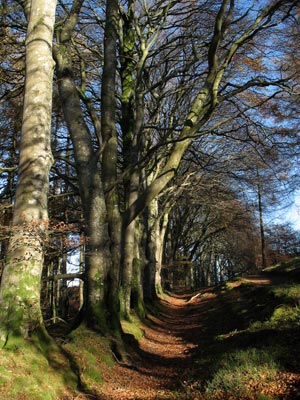
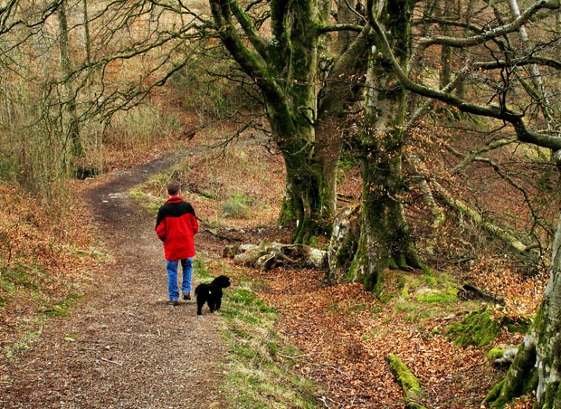
The woods themselves are very pleasant to walk through as you can see from the pictures below