Hill walk
routes to climb in SW Scotland - also coastal paths and National Scenic
Areas with maps, pictures and other useful information based on extensive
local knowledge
Walks on the East bank of the River Nith
Click on
the left side of the image below to go back to the previous page
or, on the right side of it to go to the next page.
or, on the right side of it to go to the next page.
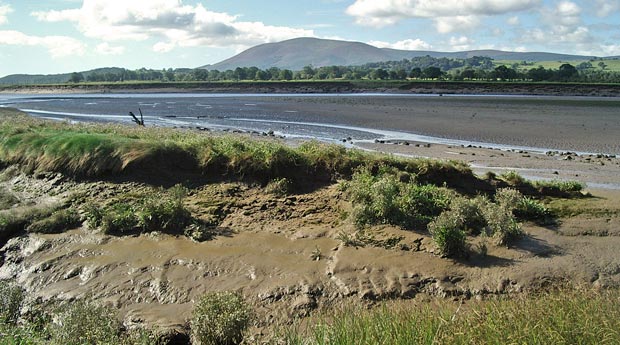
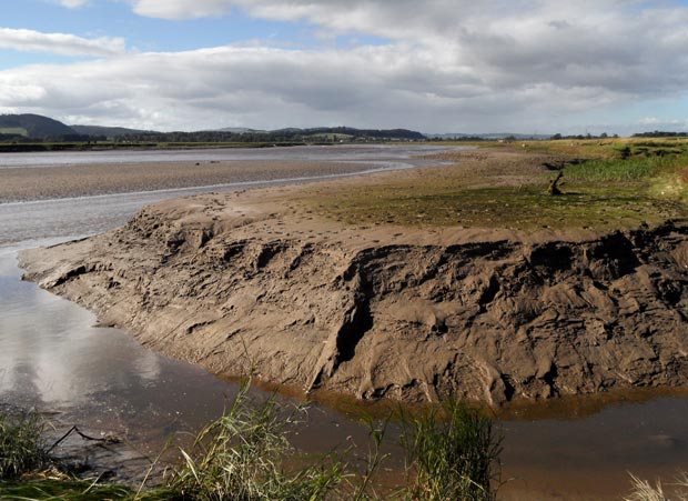
04 As you can see in the first two pictures here, there is plenty of mud around the water's edge here at Kelton. The difference between high tide and low tide can be 9.4 metres here and the river is tidal as far as the caul in Dumfries. Referring to the map of the River Nith Estuary you can mouseover to see what a dramatic difference this variation in the tides makes.
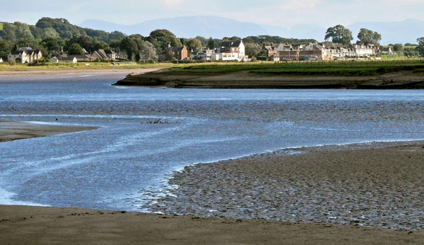
In the third picture I have used a lot of telephoto and as a result the Lake District appears to loom over Glencaple even though these hills are actually about 46 kilometre away (to Skidaw the nearest of the big tops).