Walking route from Mid Glen to Criffel via Knockendoch
or, on the right side of it to go to the next page.
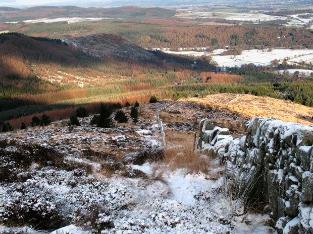
04 In the picture above we are maybe half way up Knockendoch and looking back at the route we have just come up which has followed the dyke that you see running right down into the trees. The Waterloo monument is on the hill which has a peppering of snow on it. In this picture you cannot see the monument because it is hidden by the trees which were on this hill until around 2010. Again a similar picture on page 11 (which was taken in 2012) shows the monument denuded of its trees and gives an indication of where you are parked at Mid Glen.
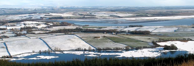
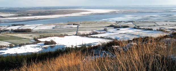
You can mentally join the two pictures below and follow the River Nith
as it runs out into the Solway Firth. For example, the clump of trees
in the right foreground corner of the first picture can be see in the
left foreground of the second. In these pictures we are looking over towards
the 13th century Caerlaverock
Castle and the Wildfowl
and Wetlands Trust bird sanctuary which is along the merse in the
lower picture. The Nith Estuary is a National
Scenic Area.