Queensberry,
Penbreck and Earncraig from Mitchellslacks
Click on
the left side of the image below to go back to the previous page
or, on the right side of it to go to the next page.
or, on the right side of it to go to the next page.
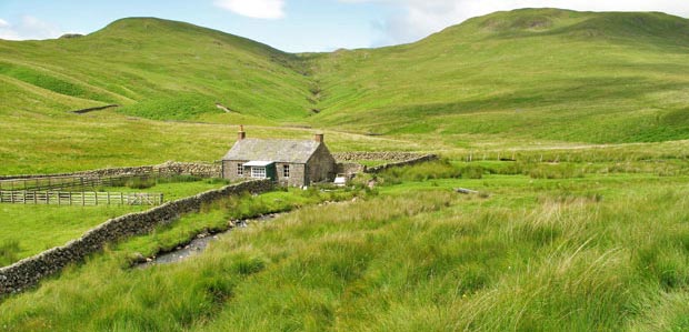
Hass is a Scots word for a gap or opening and if you were to go back up over there you can then follow the Daer Water down past Daer Reservoir on a vehicle track which you pick up at Daerhead. The Daer Water is as I have said one of the sources of the River Clyde that runs through Glasgow - so the Clyde starts just over that hill.
The Daer Hass would have been on a traditional route for heading up north from Dumfriesshire into Lanarkshire long before the advent of the reservoir. I know of folk who used this route to go over to the dancing in the mid 20th century in a hall by the Daer Reservoir click here for a map