Durisdeer
Hills and Dalveen Pass
Click on the left side of
the image below to go back to the previous page
or, on the right side of it to go to the next page.
or, on the right side of it to go to the next page.
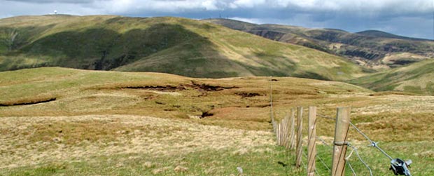
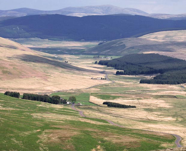
In the picture below I am a bit higher up the fence line and zooming in we can follow the A702 as it winds it's way from the top of the Dalveen Pass across to the M74 motorway. The motorway crosses the picture at the bottom of the dark tree line and you may just be able to see vehicles on it in this picture as little white dots just left of centre. Next time you are travelling up the M74 you can look up this valley to Well Hill - you'll at least be able to easily recognise the golf ball on top of Lowther on a clear enough day from the motorway. Trapped on a motorway or free on the hill - I know where I would rather be. The hills you see in the background are the Culters.
The source of the River Clyde is down there in the valley near the A702 at Glenochar just before you get to the motorway. See Page 26 for further infortmation about this.