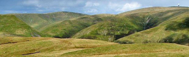
Durisdeer
Hills and Dalveen Pass
Click on the left side of
the image below to go back to the previous page
or, on the right side of it to go to the next page.
or, on the right side of it to go to the next page.
|
Durisdeer
Hills and Dalveen Pass
|
|||
|
Click on the left side of
the image below to go back to the previous page
or, on the right side of it to go to the next page. |
|||
|
|
|||
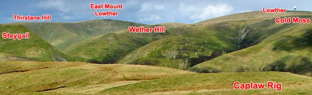
| 20 From Caplaw Rig we can see the tops we were on in the "Lowther via Enterkin" route. By comparing angles like this you build up a mental understanding of the layout of the whole range of hills and they become old friends very quickly. It is important to feel confident that you really understand where you are and know what you are seeing all around you - it brings the whole area so much more alive in your mind. | |||
|
|||