|
Hill walk routes to climb in SW
Scotland - also coastal paths and National Scenic Areas with maps,
pictures and other useful information based on extensive local knowledge
|
|||||
|
Lamachan and the Minnigaff
Hills
|
|||||
|
Click on the left
side of the image below to go back to the previous page
or, on the right side of it to go to the next page. |
|||||
|
|||||
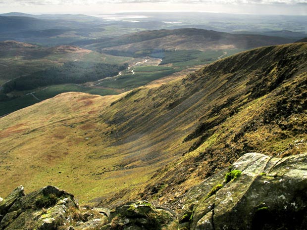
| 24 Here is another view from the top
of the gairy on Lamachan which is called Scars of Lamachan on the
O.S. map. Here we are looking south towards Wigtown Bay and the Solway
Firth. The route onto these hills shown in the map on page
22 would take you down that shoulder in the foreground and along
by the Penkiln Burn which you can see running down to Auchinleck.
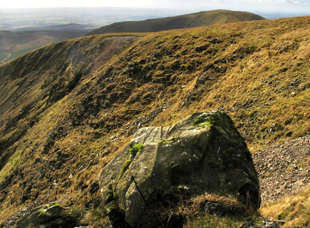
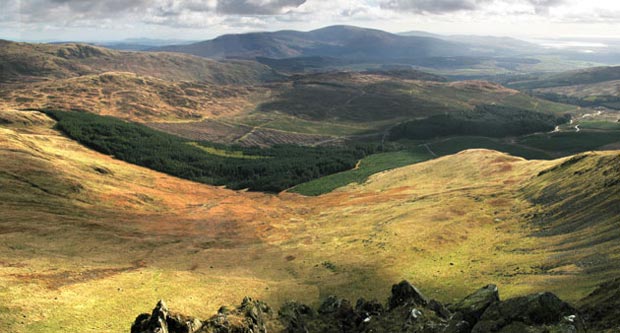
In the picture below we are looking more to the SW from the same point as above, and the dark hill beyond the shoulder of Lamachan is Larg Hill. You can mentally join these two pictures to get the full picture of Lamachan's southern shoulder. In the second picture below we are looking SE from the same point as in the other two, over the valley of the Penkiln Burn towards Cairnsmore of Fleet. Again you can mentally join this picture with the first one to get a feeling of the sweep of views from Lamachan. If you mouseover you can see the approximate route from and to Auchinleck as shown in the map on page 22. |
|||||
 |
|||||
 |
|||||
|
|
|
|
|
||