Hill walk routes to climb in SW Scotland
- also coastal paths and National Scenic Areas with maps, pictures and
other useful information based on extensive local knowledge
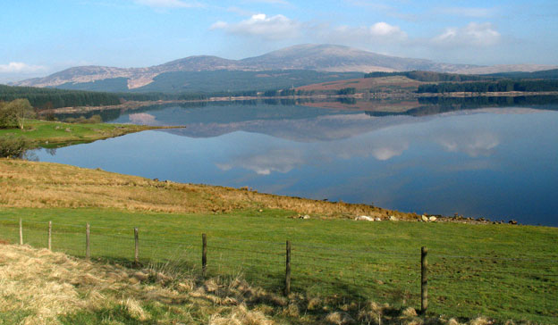
Clatteringshaws
Reservoir (Page 02)
Pictures of Clatteringshaws
Reservoir showing the southern end of the Rhinns of Kells
Click on the left side of
the image below to go back to the previous page
or, on the right side of it to go to the next page.
or, on the right side of it to go to the next page.
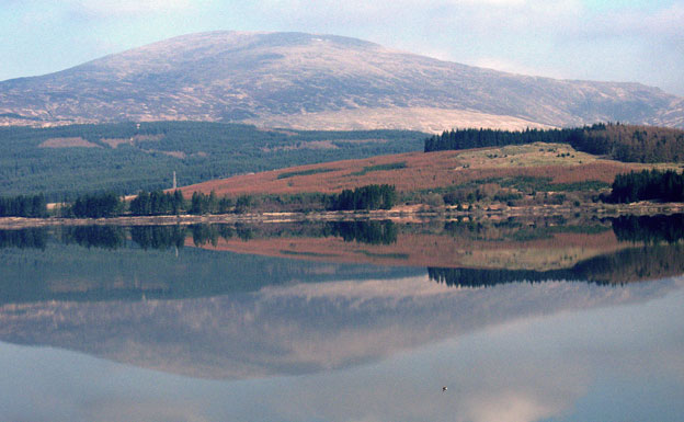
In the second picture you can see these same three hills from a spot near the dam just after we have turned off the A712 onto the west side of the reservoir and are heading along the single track road to Craigencallie.
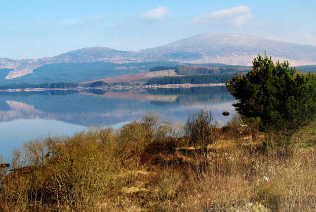
In the third picture we are further up the west side of the reservoir and I have used a bit of zoom to have a closer look at Meikle Millyea.