|
Hill walk routes to climb in SW Scotland
- also coastal paths and National Scenic Areas with maps, pictures and
other useful information based on extensive local knowledge
|
|
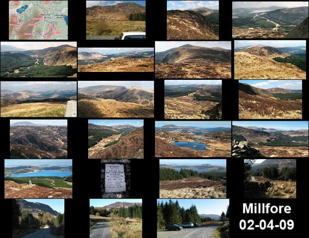
Cairngarroch, Cairnbaber,
Millfore and Darnaw from Craigencallie
|
|
A circular hill walking
route over Cairngarroch, Cairnbaber, Millfore and Darnaw from Craigencallie
|
|
Site Homepage - Galloway Home - Large Map of Galloway - List of Galloway Pages |
|
Click on any picture to go to
a larger version of it
|
|