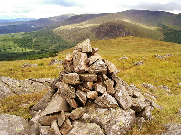
The North End of Rhinns of Kells from Green Well of Scotland
A circular hill walking route from Green Well of Scotland onto the north end of the Rhinns of Kells going over Black Craig, Coran of Portmark, Bow, Meaul, and Cairnsgarroch
Site Homepage - Galloway Home - Large Map of Galloway - List of Galloway Pages
North Rhinns Homepage
Click on the left side of the image to go back to the previous image and on the right side of the images to go to the next image
View from the top of Cairnsgarroch towards the dark face of Craignelder on Polmaddy Gairy View from the top of Cairnsgarroch towards the dark face of Craignelder on Polmaddy Gairy View from the top of Cairnsgarroch towards the dark face of Craignelder on Polmaddy Gairy
14 Here we are above on the top of Cairnsgarroch looking south to the dark face of Craignelder at the bottom end of Polmaddy Gairy. Corserine now has the merest whiff of cloud over the part of the top where the trig point is. The dark form of Millfire sticks out from the ridge beyond Corserine and beyond that you can see Meikle Millyea running east (to the left) down onto Meikle Lump and Loch Dungeon.
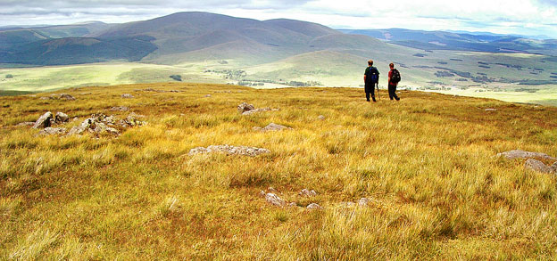
In the second picture we are looking east to Cairnsmore of Carsphairn as we start to descend back to Garryhorn.
View looking east to Cairnsmore of Carsphairn as we descend back to Garryhorn
- Page 13
Page 15 -