Rhinns of Kells from
Fore Bush - Corserine, Millfire, Milldown and Meikle Millyea
A circular hill walking
route from Fore Bush onto the Rhinns of Kells in the Galloway Hills taking
in Corserine, Millfire, Milldown and Meikle Millyea
Click on the left side of
the image to go back to the previous image and on the right side of the
images to go to the next image
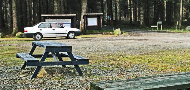
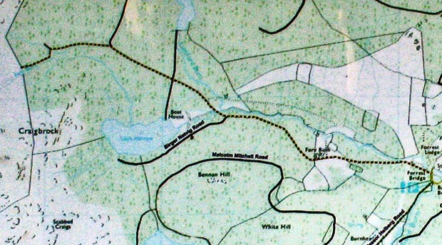
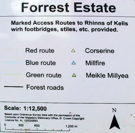
Below is the section of the map which shows the route for Corserine (in yellow and black dashes). And below that there is a picture with an explanation of the colour coding used for the 3 routes. You will find modest way markers in red to help you stay on track as you head for Corserine but you will also find more recent and more emphatic signs at the key point where you might go wrong along the way. I thought the map had been here for a number of years going by the fading of it. I certainly remember seeing one 8 years ago. But the estate say they change the map each year.
One week after doing this walk I came back and did the walk which is shown in the Fore Bush 2 web gallery - going out on the Millfire (blue) route and coming back on the Corserine route.
Page 03 -