Hill walk routes to climb in SW Scotland
- also coastal paths and National Scenic Areas with maps, pictures and
other useful information based on extensive local knowledge
|
||||||||||
Grey Mare's Tail and
Loch Skene Routes (3)
|
||||||||||
There are times when the Tail Burn can be quite a torrent as you can see in the picture on the left below. On the day this picture was taken we were heading for Mid Craig and there was so much water where the burn runs out of the loch that we had to take our boots off and wade. The stepping stones which are usually used were under water. That's Mid Craig in the picture. | ||||||||||
![]() |
![]() |
|||||||||
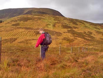
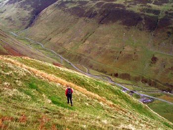
If you take the direct route down from White Coomb to the car park you will follow the fence line as seen above. We are looking back to White Coomb here. |
||||||||||
![]() |
||||||||||
![]() |
||||||||||
Above
- from White Coomb, sheep following the fence line. 
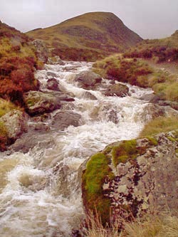
Right - the falls as seen from this route down |
||||||||||
![]() |
![]() |
|||||||||
These 3 final pictures give you an idea what the final descent to the car park is like. | ||||||||||
![]() |
||||||||||
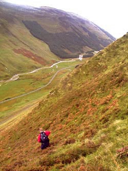
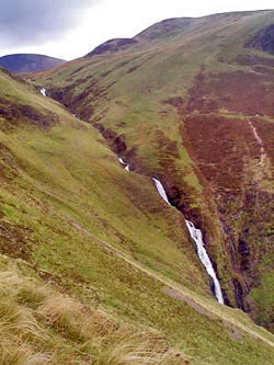
If you found the climb straight up from the car park too steep you could
head along the road in the direction of Moffat first till you come to
the edge of the trees shown in this picture and you would get an easier
route up there, but of course you would miss the views of the Grey Mare's
Tail. |
||||||||||
it all depends on the conditions on the day. On the day we had to wade the Tail Burn we took 4 fours altogether to go up by Mid Craig and back by White Coomb. | ||||||||||
![]() |
![]() |
![]() |
![]() |
![]() |
![]() |
![]() |
![]() |
![]() |
![]() |
![]() |