Hill walk
routes to climb in SW Scotland - also coastal paths and National Scenic
Areas with maps, pictures and other useful information based on extensive
local knowledge
Around
Ettrick Head - Capel Fell, Wind Fell and Ettrick Pen in Winter
Click on
the left side of the image below to go back to the previous page
or, on the right side of it to go to the next page.
or, on the right side of it to go to the next page.
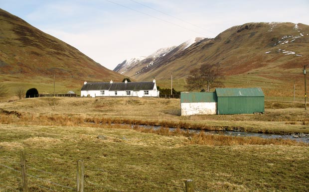
The second picture shows Blackshope house again, though where we parked is hidden by the shed in the foreground.
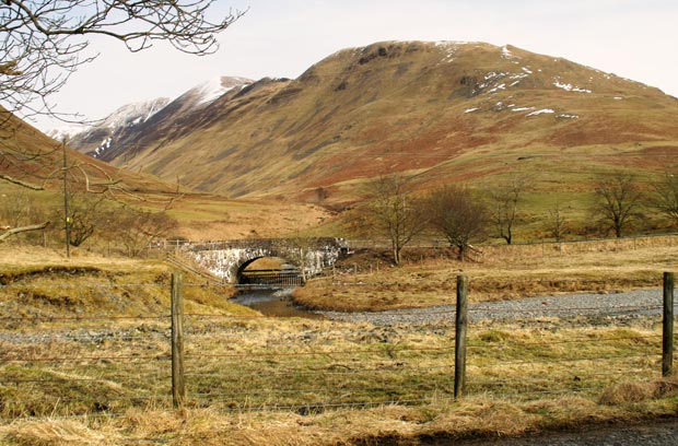
The third picture shows Bodesbeck Law as viewed from the track. The snow level started around 400 metre. Blackshope sits on the 150 metre contour.