or, on the right side of it to go to the next page.
28 Whereas the ridge we came up from Dead for Cauld to Lochcraig Head
runs in a generally NNE direction from Lochcraig Head to the Megget Reservoir,
the ridge we return by from Firthybrig head over Molls Cleuch Dod to Carlavin
Hill and the Talla runs in a NW direction and consequently these ridges
are diverging from each other the further north they go. Where we will
descend off Carlavin Hill is three and a half kilometers west of Dead
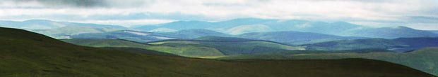
for Cauld - as the crow flies. What this means is that as we look south
up the Gameshope Burn Valley we see more and more directly into it as
you can see in the picture above as compared with the picture on page
25. Now we can see much more of the form of Great Hill, the cloud
has lifted from Hartfell and we can even see just a hint of what I take
to be Swatte Fell
left of centre in the picture.
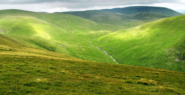
In the picture below we are looking just south of west over to the Lowther
Hills, the Dalveen Pass and the Durrisdeer Hills. Mouseover to see the
names. Despite it's name Crown of Scotland hill is quite an insignificant
hill set among a collection of other insignificant hills that lie between
us and the Lowthers in the picture below. It is said however that Robert
the Bruce saw the white cross of St Andrew on the blue sky from here before
the battle of Bannockburn and was greatly encouraged by this omen and
that this is how the hill came by it's name. In our time vapour trails
trails from aircraft make the saltire in the sky a fairly common phenomenon.