Hill walk routes to climb in SW Scotland - also coastal paths and National Scenic Areas with maps, pictures and other useful information based on extensive local knowledge
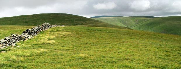
Lochcraig Head from Megget Stane
Site Homepage - Border Home - Large Map of Borders - List of Borders Pages
Lochcraig Home
Click on the left side of the image below to go back to the previous page
or, on the right side of it to go to the next page.
View of the Megget reservoir and Nickie's Knowe from Carlavin Hill View of the Megget reservoir and Nickie's Knowe from Carlavin Hill View of the Megget reservoir and Nickie's Knowe from Carlavin Hill
29 The three pictures on this page were taken within two minutes of each other and therefore show three views from the same spot. We have now passed over the top of Carlavin hill and are just starting our descent towards Talla. In the picture above we are looking ENE towards the Megget Reservoir. The dark hill running across the picture slightly to the right of centre is Nickies Knowe with Talla East Side on the right edge of the picture. So that is the ridge we went up earlier in the day and you can see Dead for Cauld to the left of Nickies Knowe.
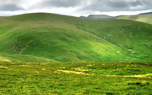
Looking SW in the second picture over the top of Carlavin Hill and Molls Cleuch Dod, the route we have just come, we can see White Coomb. Mouseover to see the names of the hills.
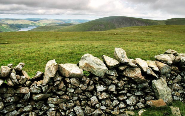
In the third picture, swinging the camera a few degrees further to the right than in the second picture we see the now familiar form of Great Hill with Saddle Yoke showing behind it. We can also see a little bit of the top of Swatte Fell - the thin dark shape on the right edge of the picture behind Cape Law (which is catching the sun).
View back to Moll's Cleuch Dod and White Coomb from Carlavin Hill
View of Great Hill and Saddle Yoke from Carlavin Hill
Go to Page 28
Go to Page 30