Hill walk
routes to climb in SW Scotland - also coastal paths and National Scenic
Areas with maps, pictures and other useful information based on extensive
local knowledge
Lochcraig
Head from Megget Stane
Click on
the left side of the image below to go back to the previous page
or, on the right side of it to go to the next page.
or, on the right side of it to go to the next page.
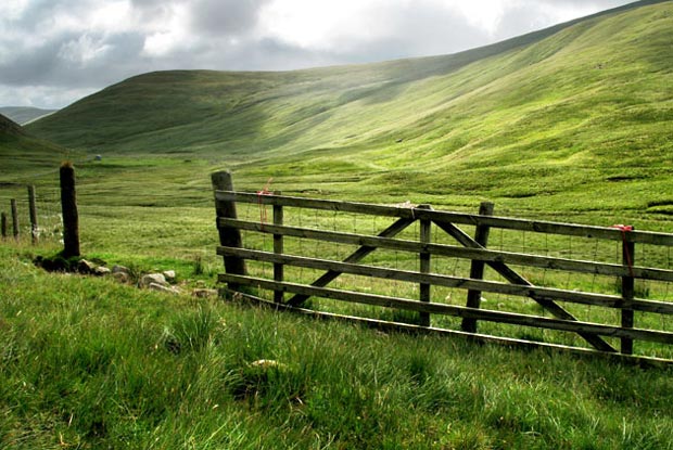
Looking from the car towards the valley of the Talla Water in the top picture we have Carlavin Hill on the right and Nickies Knowe on the left. We will head through the gate that you see on the other side of the road, make our way to the foot of Nickies Knowe and then bare left (NE) across the face of the hill.
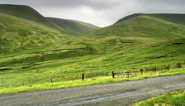
Below is a shot from the gate looking along the face of Nickies Knowe to Dead for Cauld at the far end of the ridge. The ridge descends to Dead for Cauld so there is no point in going any higher than you need to at this stage. We will go to the top of Nickies Knowe after Dead for Cauld. So just follow a steady line of ascent across the face of the hill to the height you need. It is easy going with plenty of sheep tracks.