Hill walk routes to climb in SW Scotland
- also coastal paths and National Scenic Areas with maps, pictures and
other useful information based on extensive local knowledge
Lochcraig Head from Megget Stane
Click on the left side of
the image below to go back to the previous page
or, on the right side of it to go to the next page.
or, on the right side of it to go to the next page.
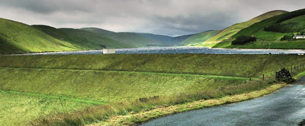
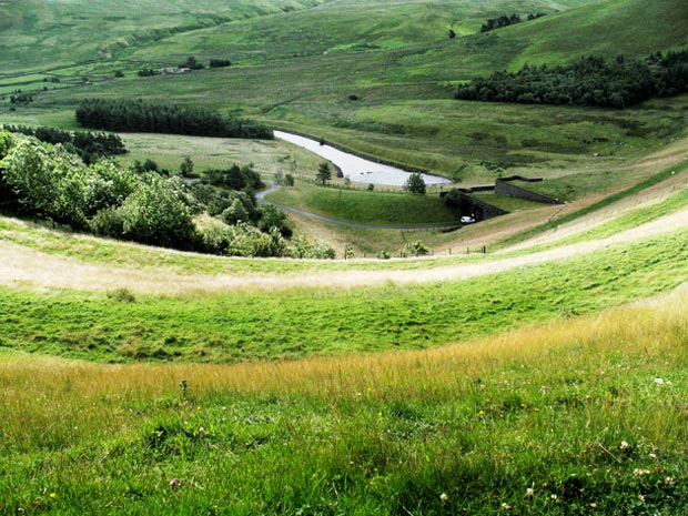
When I went onto Broad Law from the Megget Stane on 9th July 2008 I came in from the Tweedsmuir side and I showed some pictures taken as I was passing it. On the 16th July I came in from the Cappercleuch side and I stopped in the passing to get these pictures of the dam on the Megget Reservoir.
In the picture above you are looking SW over the dam and up the length of the reservoir.
In the second picture we are looking down the face of the dam. If you notice the size of the white van down there you will get some idea of scale.
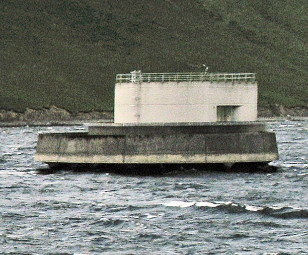
In the third picture we are looking across top of the dam and the fourth picture is a detail of the the outlet tower near the dam. It is interesting to compare this brutal concrete outlet tower on the Megget (opened 1983) with that on the Talla (opened 1899 when Victoria was still on the throne) - no comparison for style. Notice how choppy the water is.