or, on the right side of it to go to the next page.
04 There is a small shoulder
on the south side of Moorbrock which is called Green Hill on the maps.
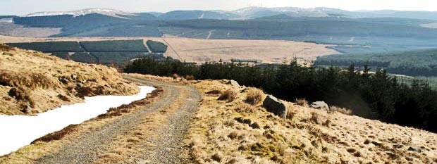
The vehicle track we are on runs round Green Hill and up the valley of
the Poldores Burn. In the picture above we are at the point where the
track swings into that valley.
Beninner is in front of us and I could see a possible route (which I had
never used before) up onto the top of Beninner. This would offer an interesting
challenge to an otherwise straighforward walk, and would also take me
directly onto the top of Beninner. Notice how the grassy slope that you
can see in the middle of the picture runs almost to the top of the hill.
It looks steep but not that bad. The real problem was how icy (and hence
slippy) would the downward sloping snow be along the edge of the hill.
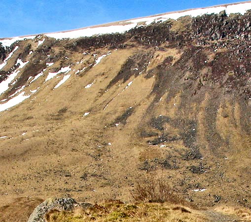
Zooming in on this route in the second picture you can see that there
was a way to avoid the snowy rim that was defending Beninner by moving
to the left towards the break in the snow that you can see near the left
edge of the picture. So I decided to make for that weak point on Beninner's
defenses and this proved to be no problem though I was using hands as
well as feet over the last little bit.
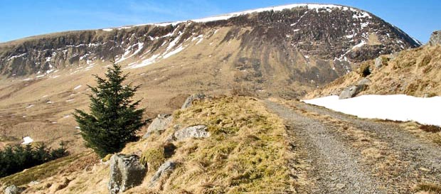
The third picture shows the view back down the track and across the valley
of the Water of Ken.