or, on the right side of it to go to the next page.
13 You can see that I was
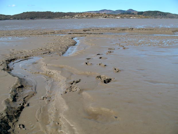
up over the ankles again in goo but the answer to that is to walk up the
bed of the little stream - you will find that much more easy and you can
give your boots a good wash before you return to civilisation. I had a
pair of gaiters on while crossing to and from the island. I took them
off, put them in a plastic bag and into my pack so that holiday makers
in all their casual gear would not think I was some kind of strange weirdo.
There are times when you need gaiters on these coastal walks, then when
you come into the villages you get some very strange looks and you feel
like a fish out of water - though the pubs are quite tolerant of folk
with boots on.
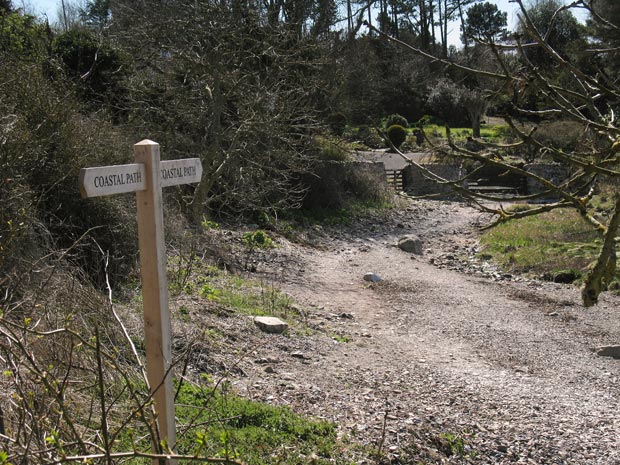
The second picture shows how the well waymarked coastal path runs along
the top of the beach past the back gates of people's houses with gardens
which come right down to the beach.
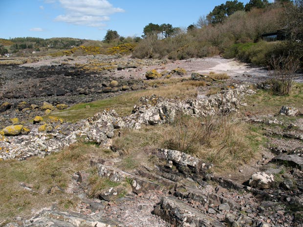
The third picture gives a view back along the way we have come.
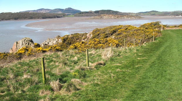
In the fourth picture we have left the beach and come up to the field
just before Castle Point. You can see Rough Island, Screel and Bengairn
in the background. You can also see a waymarker near the right edge of
the picture which shows you where to find the track back to Rockcliffe
and tells you to keep to the edge of the field. There has been much work
put out on the path and the signs within the last few months (April 2010
now).