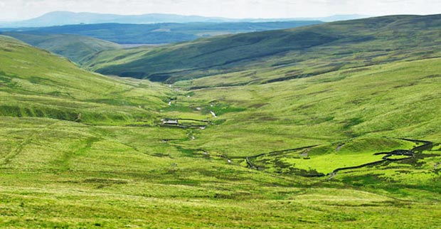
Queensberry, Penbreck and Earncraig from Mitchellslacks
Large Lowthers Map - Lowthers Home - Queensberry Home - Lowthers Page List - Site Home
Click on the left side of the image below to go back to the previous page
or, on the right side of it to go to the next page.
View from Earncraig towards Burleywag bothy View from Earncraig towards Burleywag bothy View from Earncraig towards Burleywag bothy
22 But I did not continue onto Gana Hill. I came straight off the front of Earncraig and made my way down to Burleywhag which you can see in the middle of the picture above. Criffel is in the distance in the centre of the picture. You can see Burleywag better in the pictures below. Our route from Burleywhag will take us down the valley of Capel Burn that you can see running south from the bothy - all the way back to Mitchellslacks.
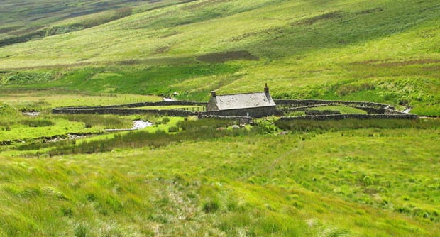
The third picture zooms in further to Burleywag Bothy.
View from Earncraig towards Burleywag bothy - detail
Burleywag bothy
Go to Page 21
Go to Page 23