Click
on the left side of the image to go back to the previous image and on
the right side of the images to go to the next image.
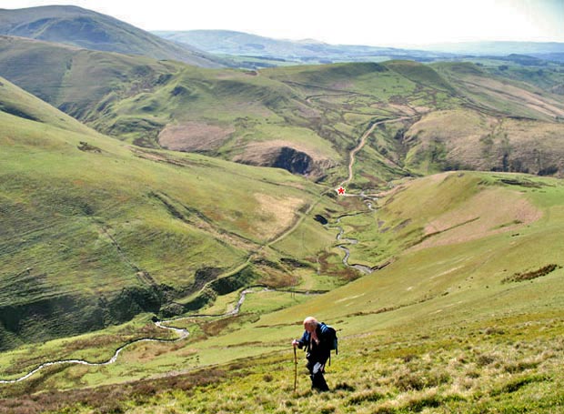
The red asterisk is put there to indicate a possible situation for a Covenanter ambush such as is described on Page 30 Just to the left of the asterisk there is a deep valley called Glen Valentine which runs into the body of Steygail, and where it would be possible to hide. There is also a low pass heading south-west over to Dalveen Farm just beyond that and a route to the north west up the Auchenlone Burn to the Mennock Pass. So there is a sort of cross roads of old ways through the hills here.