Hill walk routes to climb in SW Scotland
- also coastal paths and National Scenic Areas with maps, pictures and
other useful information based on extensive local knowledge
Silver Flowe and Dungeon Hill
Click on the left side of
the image below to go back to the previous page
or, on the right side of it to go to the next page.
or, on the right side of it to go to the next page.
This line up from Loch Enoch along the Pulskaig Burn and Gala Lane to the northern end of Loch Doon marks the boundary between Dumfries and Galloway Region and Strathclyde Region. This loup northwards means that the whole length of the Rhinns of Kells is in Dumfries and Galloway.
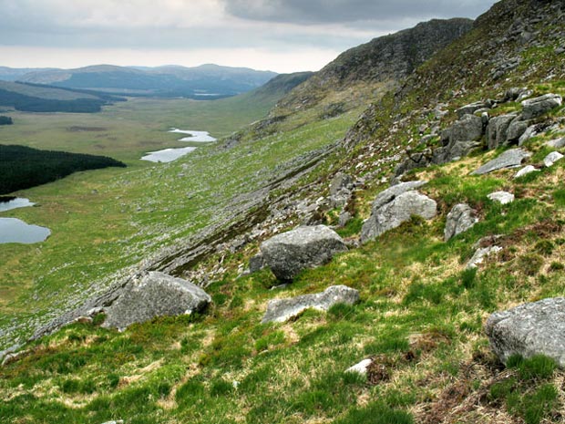
The second picture shows the view south along the eastern face of the Dungeon Hills.
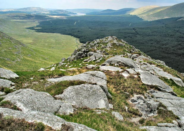
The third picture shows how interesting this wee ridge of the Brishie is.