Hill walk routes to climb in SW Scotland
- also coastal paths and National Scenic Areas with maps, pictures and
other useful information based on extensive local knowledge
Rig of the Jarkness, Craiglee
and the Glenhead Lochs
and the Glenhead Lochs
Click on the left side of
the image below to go back to the previous page
or, on the right side of it to go to the next page.
or, on the right side of it to go to the next page.
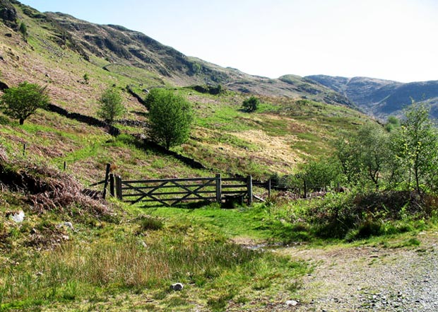
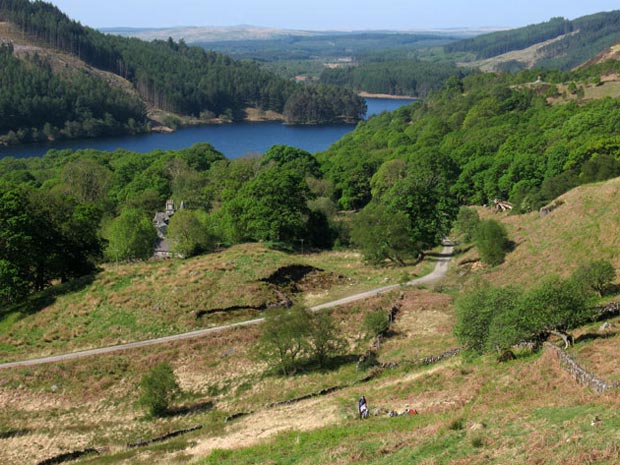
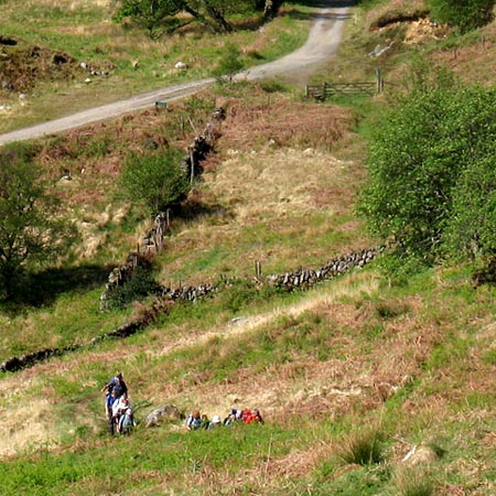
The picture above shows where you leave the vehicle track that we have been walking on since the car park. That track is also the section of the National Cycle Route 7 from Glentrool to Clatteringshaws. We go through by the gate that you see above and then traverse the face of the hill upwards by the dyke. In the pictures below you can see the guided group following me.
In the bottom picture you can see the gate where we left the vehicle track.
There is a quite easily followed path right up to Loch Enoch though there are plenty of boulders to cross and plenty of wet ground even on a fine day like this - and that after some 10 days of dry weather which had been getting up into the 20's Celsius most days.