Hill walk routes to climb in SW Scotland - also coastal paths and National Scenic Areas with maps, pictures and other useful information based on extensive local knowledge
Cairnsmore of Fleet by Tourist Route (1)
Cairnsmore of Fleet Routes Map - Tourist Route 2 - Murray's Monument Route
Clints Route - Site Homepage - Other Galloway Walks - Map of Galloway

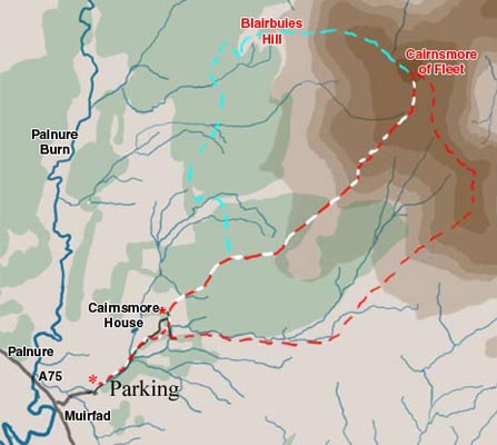
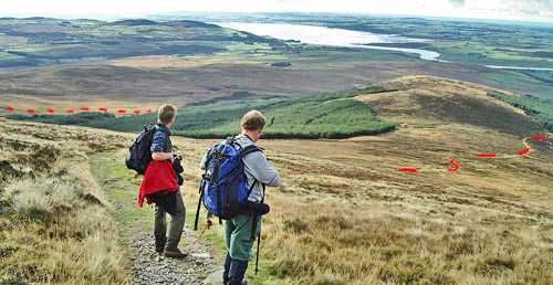
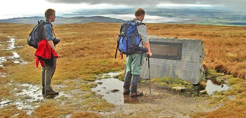
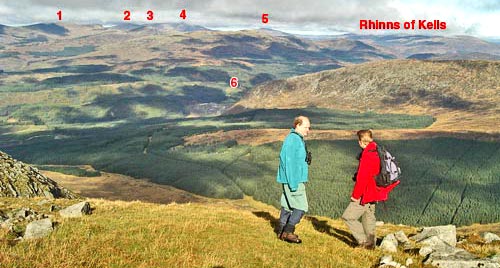
The map below shows the linear tourist route onto Cairnsmore of Fleet (in red and white) from the new carpark near Graddoch Bridge. The red route is a circular variant of that route and the pale blue route is one that looks perfectly possible on the map but I have not been on it - yet. In Scotland we have the right to roam and it is quite possible to study a map in this way for a likely route and then just go out and do it.

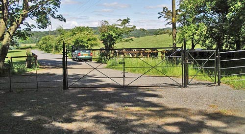
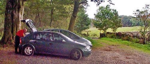
Finding the road at Muirfad which goes up to Cairnsmore House from the A75 is slightly tricky; it is the last turn off on the right before you get to Palnure when you are heading west, and Palnure is within sight from there. There is a house near the junction which is painted white. Go up this wee road until you go under a bridge of the old disused railway line from Dumfries to Stranraer. Once under that bridge there are immediately 3 roads to choose from - take the one to the left and then the first turn to the right into the car park. This is a new carpark (2006). Formerly the car park was up beyond Cairnsmore house. This means that there is almost a mile extra to add to both the outward and return journeys from what there used to be. However the new section is pleasant enough - particularly in early summer when the rhododendrons are in flower. The OS ref for the carpark is NX464632. There is much more space to park there than there used to be.

Map showing the tourist route onto Cairnsmore of Fleet
The picture below shows the new carpark. Once you've parked and ready to start come through the gate to where the picture was taken from and head left up the road with the burn on your right. As you approach Cairnsmore House you will find a sign directing you off the road onto a path which goes to the right. Follow this until you meet a road which crosses the end of the path. If you are following the linear tourist route, or doing the circular route clockwise, then head left here and you will soon arrive at where the carpark used to be. Turn right of course if you want to do the route anti-clockwise.
The parking place created for walkers by the estate near Muirfad
The picture below shows what used to be the carpark and the gate leading into the field where you will start your walk. Go in through the gate shown here and cross the field diagonally up a slight rise to another gate. You will then be onto the excellent path which leads up the hill. Once through the second gate you will be heading through mixed woodland some of which has been recently felled (spring 2006). Soon you find yourself going up through a wide gap between more regular and dense woodland as shown in the second picture below
Where the car park used to be near Cairnsmore House
Route up through the trees
As you climb up further you will leave the trees and the view south will open up over Wigtown Bay and the Solway Firth towards the Isle of Man. In the picture below you can see how good the path is and how it winds up the hill (see the red dashes). If you do the red circular route clockwise you will descend to the left of the trees on the left of the picture.
View from above the tree line back over the route already done and out to Wigtown Bay
The picture below shows the monument on the top of the hill to the airmen who have died crashing into this hill. There have been 9 such crashes mostly during WW2. There are many more aircraft crash sites in this area some of which are covered on this site.
The monumet to the 9 aircrews who have died on this hill
The picture below shows the view looking north west from the cairn on the top of Cairnsmore. The lump of hill near the left is Ailsa Craig in the Firth of Clyde (also known popularly as Paddie's Milestane) and the land beyond that is the Mull of Kintyre. The Ailsa Craig is famous as source of granite for curling stones.
View looking north west from the cairn on Cairnsmore towards the Ailsa Craig in the Firth of Clyde
In the picture below we are looking north from Cairnsmore towards the Galloway hills. 1 is Lamachan, 2 is Benyellary, 3 is Curleywee, 4 is Merrick in cloud, 5 is Mullwharchar, and 6 is Murray's monument. The shoulder in the foreground just above the figures is Big Gairy and is the route taken up onto Cairnsmore from Murray's monument.
View looking north from Cairnsmore towards the Minnigaff and Galloway hills

Tourist Route Page 2

Cairnsmore of Fleet Routes Map - Murray's Monument Route
Clints Route - Site Homepage - Other Galloway Walks - Map of Galloway