Rhinns of Kells from
Fore Bush - Corserine, Millfire, Milldown and Meikle Millyea
A circular hill walking
route from Fore Bush onto the Rhinns of Kells in the Galloway Hills taking
in Corserine, Millfire, Milldown and Meikle Millyea
Click on the left side of
the image to go back to the previous image and on the right side of the
images to go to the next image
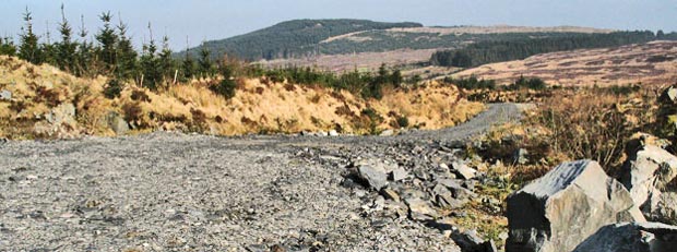
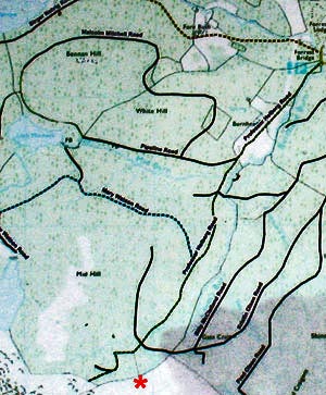
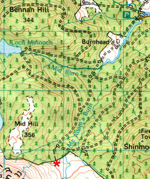
The bottom two pictures give you the means of deciding what I should have done. The picture on the left is from the map by the car park, the picture on the right is from the Ordnance Survey Landranger map - which I was using. I have put a red asterisk on both maps to show where we came over the stile. You can see that the two maps don't really quite correspond with each other in this crucial area where I had to make my decision. I am pretty sure there were not three forest tracks to choose from - as in the estate map - there are only two in the OS map.
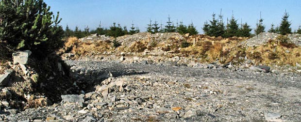
I opted for the track heading north east as in the OS map, which seems reasonable doesn't it? In other words I headed into that road in the top picture. Then pretty soon my day's walk went mildly pear-shaped again.
- Page 22
Page 24 -