Rhinns of Kells from
Fore Bush - Corserine, Millfire, Milldown and Meikle Millyea
A circular hill walking
route from Fore Bush onto the Rhinns of Kells in the Galloway Hills taking
in Corserine, Millfire, Milldown and Meikle Millyea
Click on the left side of
the image to go back to the previous image and on the right side of the
images to go to the next image
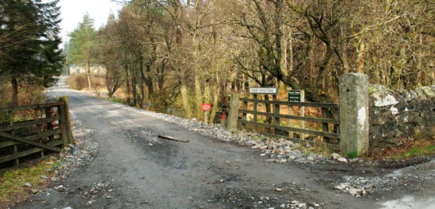
04 Here we
are starting to our day's walk along Birger Natvig Road. You turn left
into this just before crossing the bridge over the Polharrow Burn that
we have already mentioned.
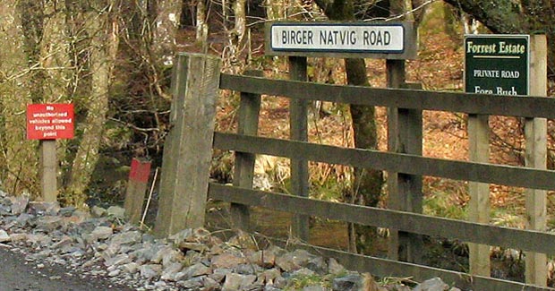
In the first picture below I have zoomed in to show the various signs. The short post with the red top is an example of the modest colour-coded waymarkers that are used from time to time along the "red" route for Corserine. The red sign says "No unautherized vehicles beyond this point".
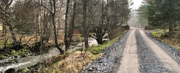
The third picture is a view back to that starting point shown above. This lets you see the good quality of the track you will be walking along and you can see the Polharrow Burn running alongside the track on it's way to the bridge. It took me just under an hour to walk from the bridge to the point where we leave the trees and head out onto the open hill.
In the first picture below I have zoomed in to show the various signs. The short post with the red top is an example of the modest colour-coded waymarkers that are used from time to time along the "red" route for Corserine. The red sign says "No unautherized vehicles beyond this point".
The third picture is a view back to that starting point shown above. This lets you see the good quality of the track you will be walking along and you can see the Polharrow Burn running alongside the track on it's way to the bridge. It took me just under an hour to walk from the bridge to the point where we leave the trees and head out onto the open hill.
Page 05 -