Hill walk routes to climb in SW Scotland
- also coastal paths and National Scenic Areas with maps, pictures and
other useful information based on extensive local knowledge
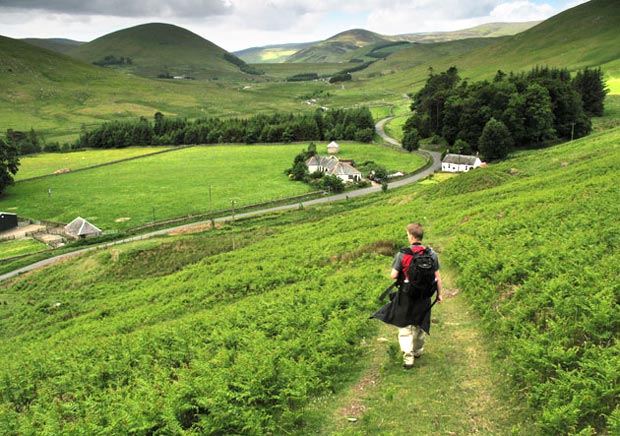
Around St Mary's Loch
Click on the left side of
the image below to go back to the previous page
or, on the right side of it to go to the next page.
or, on the right side of it to go to the next page.
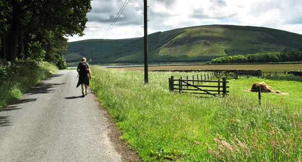
You can see in the second picture how you come onto a vehicle track. This track takes you down to a gate and onto the tarred road.
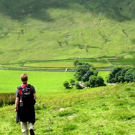
In the third picture we are heading along the unclassified road towards the A708 and the lochside.