Hill walk routes to climb in SW Scotland
- also coastal paths and National Scenic Areas with maps, pictures and
other useful information based on extensive local knowledge
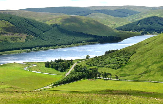
Around St Mary's Loch
Click on the left side of
the image below to go back to the previous page
or, on the right side of it to go to the next page.
or, on the right side of it to go to the next page.
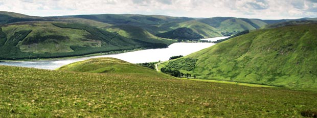
In the picture below I have zoomed in a bit on where the Megget Water runs into the loch. They say that over thousands of years the silt from the Megget Water will eventually form a barrier across St Mary's Loch as has already happened with the narrow strip of land between the two lochs. So what was once one big loch has become two (10000 years ago) and will become three lochs in the distant future. You can see even above the surface how the land is reaching out to the other side of the loch. It still has over 20 metres of depth to fill though.
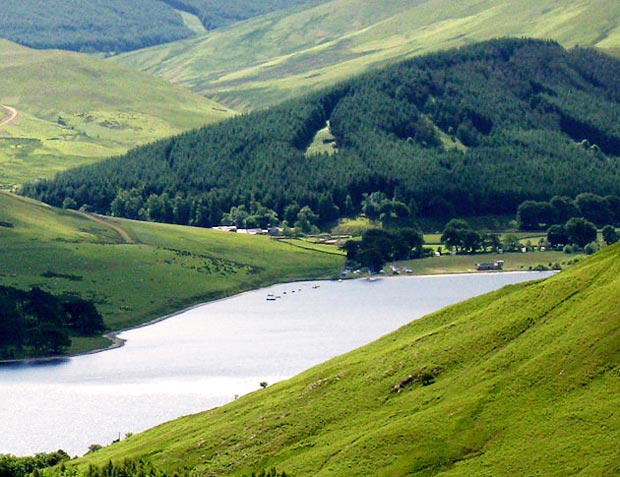
In the third picture I have zoomed in again and you can see where the St Mary's Sailing Club has it's clubhouse just by Tibbie Shiels Inn. The inn itself is just out of the picture behind the shoulder on the right.