or, on the right side of it to go to the next page.
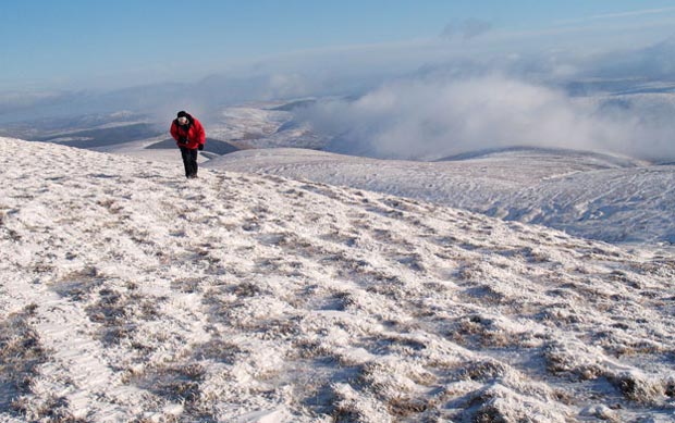
06a In the picture above we are looking NE over into Borders Region.
That dry stane dyke that you see is in fact the boundary line between
Dumfries and Galloway on this side of the wall, and Borders on the far
side. The whole wide hill that you see beyond Allan has three named tops.
The one casting the strong shadow is called The Strypes. To the left of
that there is a top called Muckle Knees and a third to the right called
Mid Hill. "Muckle" is the Scots word for large.
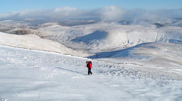
Here we are on top of Lochcraig Head and you can clearly see one of the
clouds of mist which was roaming around the hills. A cloud like this was
soon to catch up with us after this picture was taken, and stay with us
for the rest of the day - uninvited.
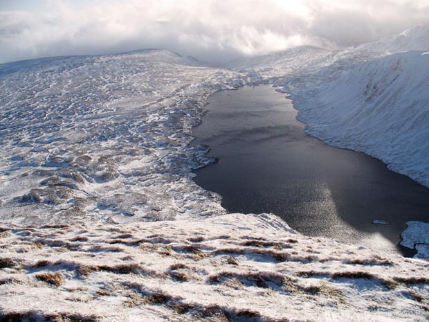
The third picture shows the view looking SSE from the top of Lochcraig
Head over Loch Skene and the route we have taken to get here. Going by
the mass of cloud over the Grey Mare's Tail area (in the middle of the
picture) the falls and the route up from the car park would still be engulfed
in it.