Hill walk routes to climb in SW Scotland
- also coastal paths and National Scenic Areas with maps, pictures and
other useful information based on extensive local knowledge
Around Loch Skene -
Winter
Click on the left side of
the image below to go back to the previous page
or, on the right side of it to go to the next page.
or, on the right side of it to go to the next page.
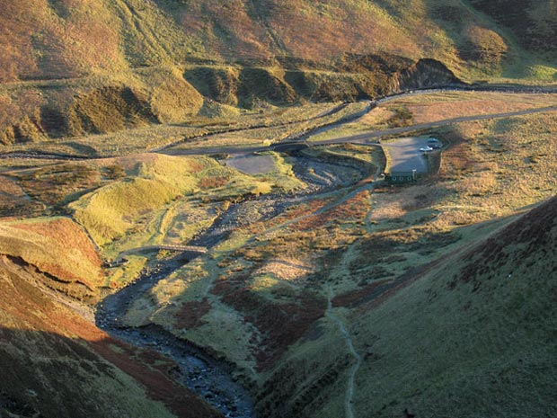
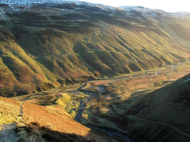
You can see the path running over from the car park to the bridge that crosses the Tail Burn - the route that you will take for Loch Skene (sometimes spelt Skeen). In the picture below we have zooomed out and we can see more of Moffat Dale. You can also see the path running up to Loch Skene at the bottom left of that picture. It is quite a steep climb at this point but it does not deter the many visitors to the area who go up to see Loch Skene often with totally inadequate clothes and footware - there have been fatalities. The path that you see bottom right just takes you to a viewing point below the Grey Mare's Tail.
Notice the tracks running along the other side of the valley dating from the times before the road was built. The hills on the far side of the valley are called the Ettrick Hills - the source of the River Ettrick is just on the other side of these hills.
These two pictures were taken as I descended at the end of the day getting the cross light of the setting sun from the right (ie from the SW).