or, on the right side of it to go to the next page.
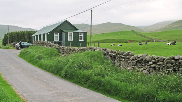
02 Here is the community
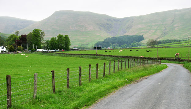
hall where we park near the Devil's Beef Tub (OS. Ref NT 075104).
The second picture offers a view from near the hall looking north up the
road you arrived by towards the Devil's Beef Tub - where the road ends.
That is Great Hill just left of centre.
The source of the River Annan is just above the Beef Tub - at Annanhead.
The river Annan runs from Annanhead to the Solway Firth entering the firth
near to the town of Annan.
There is a new (12th September 2009) 55 mile way-marked walking route
call the Annandale Way
which follows the river from here to the sea.
From Moffat the Way offers two possible routes to Annanhead, one to the
east of the river and one to the west of it. The route on the east side
comes past our community hall and then takes you up through the Corehead
plantation onto the ridge just east of Great Hill and so up to Annanhead.
The western route uses the A701 briefly before descending into the valley.
It is possible to make an interesting circular walk up to Annanhead and
back from the community hall by exploiting these alternative routes.
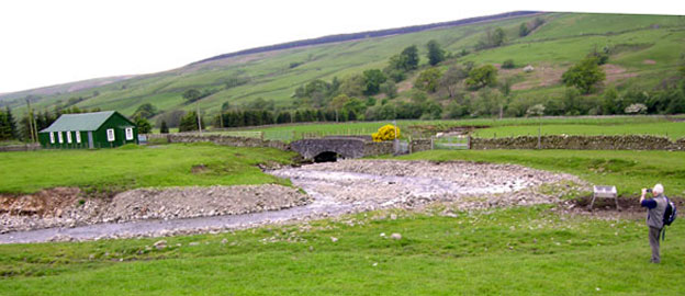
However, back to today's walk - just beyond the hall there is a way-marker
showing you the direction for Hartfell Spa. Come through the fancy new
gate there beside the bridge in the second picture below and you will
arrive at where Dunkie is standing on the north bank of the Auchencat
Burn. If you mouseover
that image you will see what lies ahead of him from there.