Capel
Fell, Loch Fell and Croft Head Round
Click on
the left side of the image to go back to the previous image and on the
right side of the images to go to the next image.
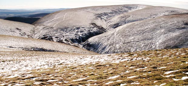
08 Making our
way over to the fence near the top of Capel Fell (678 metres) we get the
first glimpse of Loch Fell - to the left in the picture above. Don't be
confused by the "Loch" part of it's name - it is a hill. It
is somewhat out on it's own at the south end of the range.
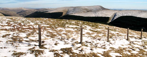
Below is the view of Loch Fell as we follow the fence SE down from the top of Capel Fell. You can see that Loch Fell will be a long steady climb of no great difficulty.
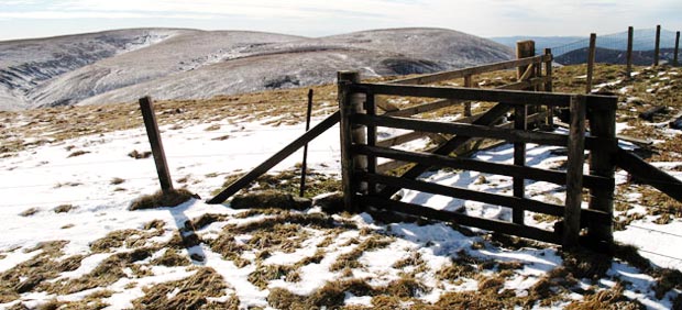
Looking east on our descent from Capel Fell we get the view of Ettrick Pen shown in the third picture. Ettrick Pen at just over 690 metres (The Ordnance Survey Explorer map does not actually give a definitive height) is just marginally higher that Loch Fell (688 metres).
Below is the view of Loch Fell as we follow the fence SE down from the top of Capel Fell. You can see that Loch Fell will be a long steady climb of no great difficulty.
Looking east on our descent from Capel Fell we get the view of Ettrick Pen shown in the third picture. Ettrick Pen at just over 690 metres (The Ordnance Survey Explorer map does not actually give a definitive height) is just marginally higher that Loch Fell (688 metres).